GET https://demapi.com/api/v1/elevation/point?via=160237,416055&crs=rd&key=YOUR_KEY
RESPONSE { "results": [ { "elevation": 5.3109, "rdx": 160237, "rdy": 416055 } ], "metadata": { "product": "ahn_dsm_5m", "resolution": 5 }, "status": "OK" }
Demapi is an elevation API capable of quickly parsing coordinate queries to provide you with elevation.
Our API gives you the power to pick and choose. Therefore, we allow you to use coordinates from a reference system you are comfortable with, choose the dataset you need ranging from 90m to 50cm resolution, query up to 500 points at a time, and choose between points, line, and polygons.
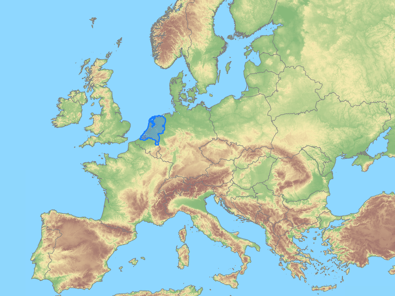
We are currently supporting elevation queries for the Netherlands. We hope to add more countries and regions in the future.
The Demapi service is run by LugtAarde a small consulting business in the Netherlands focussed on geospatial consultations. You can visit us at lugtaarde.com or send us an email to hello@lugtaarde.com
© 2021 demapi.com